

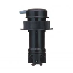
Electronic Charts CF/NAVU-W/WM Selectable Global Regions Fresh And Salt Water Navionics Updates CF Card
Original price was: $129.99.$97.99Current price is: $97.99.
- 100% environmentally friendly material
- 100% High Quality Guarantee
- Online assistance, always at your service.
- 7 days return and exchange

Navionics+ World
Get both freshwater and saltwater charts throughout global regions. Navionics+ includes the Nautical Chart, SonarChart™ HD bathymetry map, Community Edits and free daily updates for one year! Simply plug your card into your PC/Mac and download the most updated charts anywhere within several selectable ‘Global Regions’. To choose from one of many Navionics+ regions go online at navionics.com. [2GB card]
- Freshwater: One foot contours, thousands of lakes and growing
- Saltwater: One foot contours inshore and nearshore, 3′ and 6′ contours offshore beyond 90′
- Daily updates
- Huge regions — the most detail
View Chart Detail
Americas Compatibility Guide
EMEA APAC Compatibility Guide
| Card Type | Navionics |
|---|---|
| Cartography | World, Basemap |
| Type | Electronic, Charts |
Be the first to review “Electronic Charts CF/NAVU-W/WM Selectable Global Regions Fresh And Salt Water Navionics Updates CF Card”
Related products
Electronics & navigation
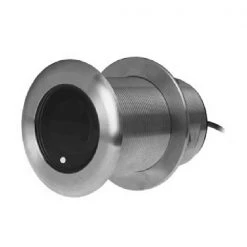
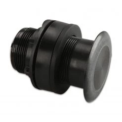
B&G Transducers DST-810 Thru-Hull Transducer With Depth, Speed And Temperature
Electronics & navigation
SIMRAD Transducers XSonic SS75M 0° Tilt Thru-Hull Medium CHIRP Transducer
Electronics & navigation
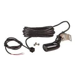
LOWRANCE Transducers HST-WSU Transom Mount Dual Frequency Skimmer Transducer
Electronics & navigation
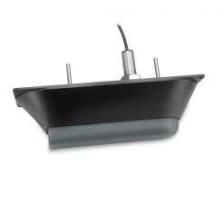
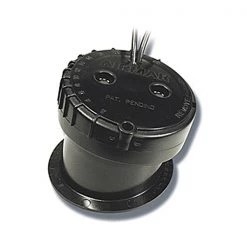
GARMIN Transducers GT21-TH Thru-Hull Traditional And CHIRP ClearVu Transducer
Electronics & navigation
GARMIN Transducers Airmar P319 Thru-Hull Dual Frequency Transducer

Electronics & navigation
SIMRAD Transducers XSonic SS75M 20° Tilt Thru-Hull Medium CHIRP Transducer
Electronics & navigation
Electronics & navigation
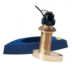
GARMIN Transducers Airmar B744V Thru-Hull Multisensor Dual Frequency Transducer
Reviews
There are no reviews yet.