

Electronic Charts C-MAP Reveal: US Atlantic, Rhode Island – Virginia
Original price was: $239.88.$98.99Current price is: $98.99.
- 100% environmentally friendly material
- 100% High Quality Guarantee
- Online assistance, always at your service.
- 7 days return and exchange

C-MAP® Reveal charts help anglers and divers save time on the water, finding key areas faster with the high-definition views of structure, wrecks and contour changes on the sea floor.
The high-detail C-MAP® Reveal imagery replaces shaded relief data in selected areas with more accurate depth variations, revealing the best fishing and diving spots. C-MAP Reveal charts include C-MAP HRB Coastal Data, Genesis social map data and satellite imagery that can be overlaid on top of the standard vector charts used for navigation. The C-MAP Reveal layer is activated by turning on the Shaded Relief setting and is available for use on Lowrance®, Simrad® and B&G® chartplotters.
Features:
- High-definition C-MAP Reveal layer on selected areas
- Reduces search time with immediate high-definition display of bottom structure, wrecks, isolated reefs and ledges
- C-MAP Reveal charts contain full C-MAP MAX-N+ vector navigation data, including new features like High Resolution Bathy, Custom Depth Shading, Genesis layer and satellite imagery
- Includes detailed marina and port plans
- Easy to use – just turn on Shaded Relief setting in chartplotter
| Card Type | C-Map |
|---|---|
| Cartography | US, Coastal |
| Type | Electronic, Charts, SD, Card |
Be the first to review “Electronic Charts C-MAP Reveal: US Atlantic, Rhode Island – Virginia”
Related products
Electronics & navigation
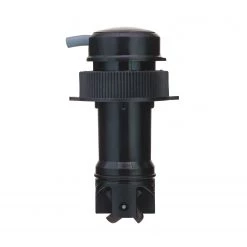
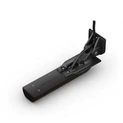
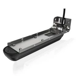
B&G Transducers DST-810 Thru-Hull Transducer With Depth, Speed And Temperature
Electronics & navigation
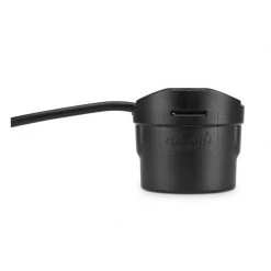
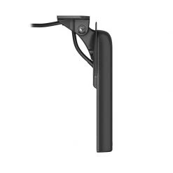
GARMIN Transducers GT8HW-IH In-Hull High/Wide CHIRP Transducer
Electronics & navigation
Electronics & navigation
Electronics & navigation
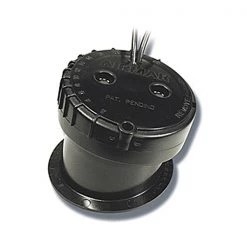
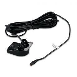
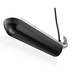
GARMIN Transducers Echo™ Series Transom Mount Dual Frequency Transducer
Electronics & navigation
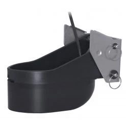
SIMRAD Transducers XSonic TM275LH-W Transom Mount Low/High CHIRP Transducer
Electronics & navigation
Electronics & navigation
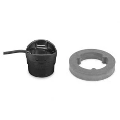
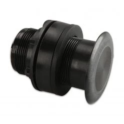
GARMIN Transducers Airmar P319 Thru-Hull Dual Frequency Transducer
Reviews
There are no reviews yet.